
The Pembrokeshire Coast Path at a glance
The Pembrokeshire Coast Path is a National Trail that follows the coast from St Dogmaels in the north to Amroth in the south. You can walk it in either direction. It is also part of the Wales Coast Path. The route passes Tenby, St Davids, Fishguard, Pembroke and Newport, with cliffs, sandy bays and river mouths in between.
A common planning guide suggests about 12 days at around 15 miles (24 km) a day. That is a guide, not a promise about fitness or weather. Many visitors walk single sections instead, using buses to return to the start. If you would rather pair a walk with a boat day, see our Pembrokeshire tours.
Coast Path sections and distances
Example stretches with their distances. They are not fixed daily stages.
| Section | Miles | Kilometres |
|---|---|---|
| Newport to Fishguard | 12 | 19.3 |
| Fishguard to Pwll Deri | 9 | 14.5 |
| Porthgain to Whitesands | 10 | 16.1 |
| Whitesands to Solva | 13 | 20.9 |
| Broad Haven to Martin's Haven | 11 | 17.7 |
| Martin's Haven to Dale | 10 | 16.1 |
For most walkers, a good first choice is the stretch from Whitesands to Solva past St Davids, or the cliffs near Caerfai Bay for a shorter outing. Tenby to Saundersfoot is a coastal walk with a lot of ups and downs. It is not a flat promenade.
Our pick: a guided walk onto the coast path from St Davids
A short guided walk that joins the coast path near the city, a taster if you are not ready for a full day on the trail.
Hand-picked tours, booked through Viator. Prices are indicative starting prices in British pounds (as of October 2026). Tap a tour for live availability and the current price in your currency.
Pembrokeshire coast tours and boat trips
Boat trips along the cliffs, island visits and coasteering to combine with your walking days, with live prices and availability.
Summer buses on the coast
Coastal buses run in summer only. Check the current timetable before you set out.
Puffin Shuttle 400
Runs daily from 23 May to 27 September 2026. From St Davids New Street it leaves at 08:40, 12:40 and 16:40 and reaches Martin's Haven at 10:10, 14:10 and 18:10. That is about 1 hour 30 minutes. For a Skomer boat, allow extra time for check-in.
Strumble Shuttle 404
Runs daily from 23 May to 27 September 2026. From Fishguard it leaves at 07:35, 11:10 and 16:00 and arrives in St Davids at 08:43, 12:48 and 17:38. The first bus does not serve Strumble Head. Later buses reach it at 11:32 and 16:22.
Celtic Coaster 403
Runs daily from 28 March to 27 September 2026 and serves St Davids, Porthclais, St Justinian, the cathedral and Whitesands. Extra half-hourly buses run from 23 to 31 May and from 1 July to 31 August. St Non's is a request stop. Check the timetable before you travel late in the season.
In winter
The 387 and 388 run on Thursdays and Saturdays from 1 October 2026 to 28 May 2027. A West Wales Rover day ticket is £9 for adults and £4.75 for children, and a week ticket is £36 or £17. Single fares depend on the route.
Tides, firing ranges and closures
Two crossings can be under water for more than 6 hours at a time: Sandy Haven and The Gann, also called Pickleridge. Look at the tide table before you start. Some beach shortcuts on the route near Tenby can also vanish at high water.
Range West is closed to the public. Range East closes when firing takes place, and an alternative Range Trail route is then open. Check the firing notices before you go.
The path at Amroth is on a diversion because of a landslide, and the diversion stays in place until further notice. Not every section is always open, so check the current diversions page before a long walk.
The cliff paths are mostly footpaths and not cycle routes. Camping without the landowner's permission is not allowed.
The Wales Coast Path and the national park
The Pembrokeshire Coast Path sits inside the Pembrokeshire Coast National Park, which was designated in 1952 and covers around 615 km². Most of the land in the park is privately owned, so stay on the path and close gates. The park is not the same as the county, and the path is only the coastal edge of both.
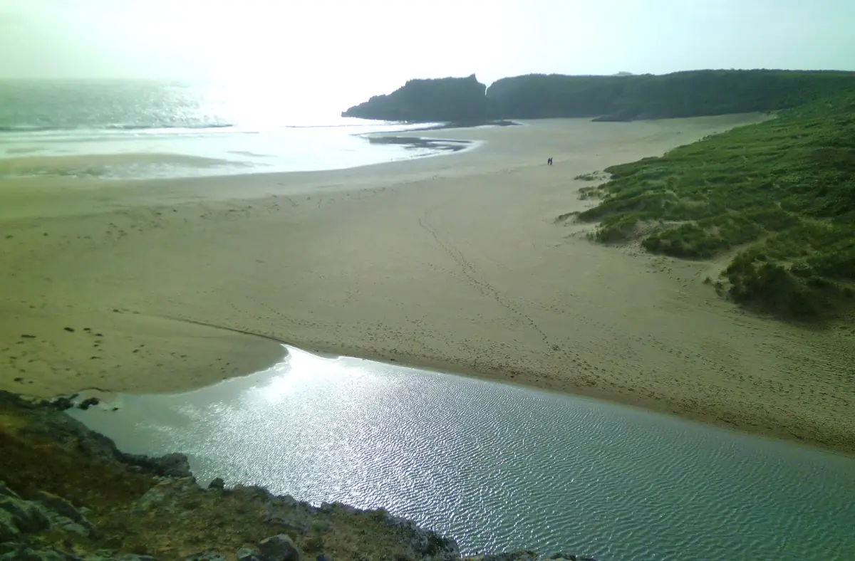
If you want a rest day from walking, take a boat trip to Skomer Island or visit the beach at Barafundle Bay, which you reach on foot from Stackpole Quay.
Plan the rest of your trip
Places along the path.
Pembrokeshire Coast Path: frequently asked questions
How long is the Pembrokeshire Coast Path?
186 miles or 299 km, from St Dogmaels to Amroth. You can walk it in either direction.
How many days does the whole path take?
A common planning guide suggests about 12 days at roughly 15 miles (24 km) a day. Your pace and the weather may change that.
Is the Pembrokeshire Coast Path the same as the Wales Coast Path?
The Pembrokeshire Coast Path is a National Trail and also a part of the Wales Coast Path.
Can I cycle the path?
The cliff paths are mostly footpaths and not cycle routes.
Can I camp along the path?
Not without the landowner's permission.
Which buses help me walk one stretch?
In summer 2026 the Puffin Shuttle 400, the Strumble Shuttle 404 and the Celtic Coaster 403 serve the St Davids area, Fishguard and Martin's Haven.